2025 edition · Archive
1st Workshop on Advances in Representation Learning for Earth Observation
EurIPS 2025 · December 7, 2025 · University of Copenhagen, Denmark
Registered participants
Poster presentations
Oral presentations
About REO-1
Uniting ML, computer vision, and Earth sciences
The first REO workshop brought together researchers from machine learning, computer vision, and Earth sciences to advance robust, interpretable, and scalable models for monitoring our planet. It addressed opportunities arising from large-scale multimodal EO data and foundation models, fostering cross-disciplinary exchange between academia, industry, and policy.
Recent developments discussed included Google DeepMind's AlphaEarth, IBM–ESA's TerraMind, AllenAI's Earth System, and Meta's DINOv3.
Three guiding questions framed the workshop:
- Where are we, and how can we move forward as a community?
- What are the open challenges in learning representations of EO data?
- In the era of general-purpose one-for-all models, what is the role of specialized approaches?
Venue: University of Copenhagen South Campus, Njalsgade 76, Auditorium 4A.0.69, ground floor, 2300 København S. Not at the main EurIPS venue; closest metro station: Islands Brygge.
Call for Papers
Two submission tracks
Track 1 — Novel unpublished work
Up to 4 pages single column (excluding references) using the NeurIPS template. Short supplementary material allowed. Double-blind, non-archival.
Track 2 — Recently published work
Papers published after NeurIPS 2024 could be submitted as-is. Single-blind (anonymous reviewers only).
Accepted contributions were presented as posters; authors could indicate interest in a 10-minute oral talk.
The Microsoft CMT service was used for managing the peer-reviewing process for this conference. This service was provided for free by Microsoft and they bore all expenses, including costs for Azure cloud services as well as for software development and support.
Timeline
| Milestone | Date (AoE) |
|---|---|
| Submission deadline | Oct 15 → extended to Oct 20, 2025 |
| Notification of acceptance | Oct 31, 2025 |
| Camera-ready | Nov 28, 2025 |
Topics of Interest
- · Machine Learning and AI for EO — self-supervised, multimodal, domain-adaptive, continual/online learning, foundation models, human-in-the-loop, active learning
- · Physics-based and Hybrid Modeling — Radiative Transfer Models, hybrid AI–physics for parameter retrieval and uncertainty quantification
- · Ecology and Environmental Monitoring — land use/cover change, biodiversity, phenology, biomass, canopy height, soil/vegetation condition
- · Remote Sensing and Satellite Data Processing — multispectral, SAR, LiDAR, hyperspectral; multi-resolution fusion; temporal change detection; cross-sensor harmonization
- · Embeddings and Compression — learned representations, semantic compression for large EO archives
- · Earth Science Applications — geophysical parameter estimation, urban/rural mapping, geohazards (floods, landslides, volcanic activity)
- · Data Curation, Bias, and Accessibility — globally representative datasets, bias mitigation, open benchmarks
- · Technical and Use Case Innovations — novel architectures, training strategies, pipelines
Invited Speakers
Keynotes
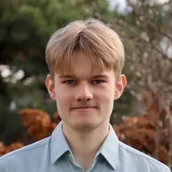
Michal Kazmierski
Google DeepMind

Gustau Camps-Valls
Universitat de València
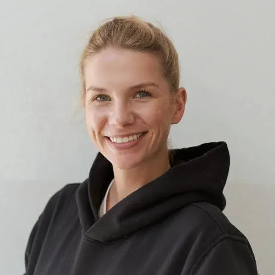
Julia Gottfriedsen
OroraTech
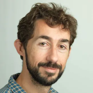
Bertrand Le Saux
European Commission
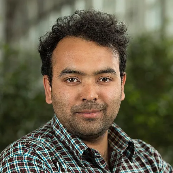
Ankit Kariryaa
University of Copenhagen
Recordings available on the workshop YouTube channel.
Program
Accepted Papers
33 papers were presented at the workshop (26 novel works, 7 recent works, 5 as orals). Papers, posters, and videos are archived on GitHub.
- #1
- #2
- #3
- #4
- #5
- #6
- #7
- #8
- #9
- #10
- #11
- #12
HELM: Hierarchical and Explicit Label Modeling with Graph Learning for Multi-Label Image Classification
Stoimchev et al.
- #13
- #14
- #15
LEPA: Learning Geometric Equivariance in Earth Observation with a Predictive Architecture
Scheurer et al.
- #16
Leveraging Compact Satellite Embeddings and Graph Neural Networks for Large-Scale Poverty Mapping
Pettersson et al.
- #17
- #18
MAPLE: Multi-Path Adaptive Propagation with Level-Aware Embeddings for Hierarchical Multi-Label Image Classification
Koloski et al.
- #19
- #20
- #21
- #22
- #23
- #24
- #25
- #26
- #27
- #28
- #29
- #30
Towards Large Scale Geostatistical Methane Monitoring with Part-based Object Detection
Senneville et al.
- #31
MoTiF: a self-supervised model for multi-source forecasting with application to tropical cyclones
- #32
- #33
Team
Organizers
Loïc Landrieu
ENPC
Begüm Demir
BIFOLD, TU Berlin
Nico Lang
University of Copenhagen
Johannes Jakubik
IBM
Valerio Marsocci
ESA Φ-lab
Ruben Cartuyvels
ESA Φ-lab
Hui Zhang
University of Copenhagen
Program Committee Show
Thanks to the Program Committee for reviewing submissions to REO-1.
- · Benedikt Blumenstiel
- · Dimitri Gominski
- · Dino Ienco
- · Gencer Sumbul
- · Ghjulia Sialelli
- · Guillaume Astruc
- · Hui Zhang
- · Jan Dirk Wegner
- · Johannes Jakubik
- · Linus Scheibenreif
- · Loïc Landrieu
- · Lukas Drees
- · Marc Rußwurm
- · Mikolaj Czerkawski
- · Nico Lang
- · Nicolas Longépé
- · Peter Naylor
- · Riccardo D'Ercole
- · Ruben Cartuyvels
- · Sander Jyhne
- · Steffen Knoblauch
- · Valerio Marsocci
- · Venkanna Babu Guthula
- · Vivien Sainte Fare Garnot
- · Yohann Perron
- · Zhitong Xiong
Sponsors

Contact
For questions about the workshop, reach out to reo-workshop@googlegroups.com.
General inquiries: contact@eurips.cc
Continuing at NeurIPS 2026
The second edition takes place in Paris, France · Dec 12 / 13, 2026.
Visit REO 2026 →